
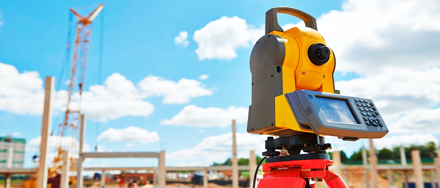
Geodetic works and engineering studies
The company "Gutman Construction" is one of the leading professionals in the field of geodetic works and engineering surveys, which are an integral part of construction works regardless of the size and significance of the object and are included in the mandatory composition of the project documentation required for obtaining a permit for construction.
![]()
Accuracy in engineering and geodetic research is the key to the success of the entire project. The slightest mistake can lead to negative consequences in the future - building collapses caused by incorrect calculation of soil precipitation, environmental disasters, etc.
"Gutman Construction" company, combining the experience and knowledge of high-class specialists, modern software and high-precision devices of the latest generation, integrated with the latest geodetic technologies and unique solutions, carries out a full range of professional geodetic works and engineering studies of various levels of complexity. corresponding to regulatory requirements, in the following directions:
1. Preliminary engineering and geodetic surveys
- Creation and fixing on the territory of the geodetic base for the further production of geodetic works in the local system of plan coordinates and the state system of heights
- Development of geodetic networks from state geodetic points and benchmarks
- Exposing in kind the boundaries of land plots, turning points in accordance with the documents submitted by the Customer
- Topographic survey of the area with the accuracy of field work, established by the standards for topographic plans of scales 1:500, 1:1000, 1:2000, 1:5000, 1:10000
- Route search of hidden engineering communications (including using route-finding equipment and ground-penetrating radars)
- Realization of communication axes (field tracing), contours, points
- Formation of initial and permit documentation for the production of engineering and geodetic works
- Drawing up boundary plans, technical plans, cadastral passports, approval of documentation in registry bodies
- Alignment of geodetic networks, compilation of information on plan and elevation networks
- Display of engineering and topographic plans on scales 1:500, 1:1000, 1:2000, 1:5000
- Compilation of technical reports on the work carried out
- Approval of materials and results of engineering and geodetic works in the bodies of architecture and geosurveillance
2. Engineering and geodetic works during construction
- Creation, restoration, development and fixing on the ground of the geodetic center base (GDO) of the construction object
- Removal of high-altitude benchmarks
- Stakeout of points, axes, buildings, structures, structures
- Control of geometric parameters during the installation of equipment, structures, their elements
- Control survey of the relief, structures, structures, their elements
- Laying deformation marks, measuring deformations
- Drawing up and approval of acts of acceptance and transfer of the results of geodetic work, geodetic center base of construction
- Development, examination and approval of projects for the production of geodetic works
- Development, examination and approval of programs for monitoring deformations of structures, structures
- Adjustment of geodetic networks, basics, drawing up statements of geodetic networks
- Drawing up reports on the work carried out
- Formation of layout drawings
- Drawing up executive geodetic schemes and drawings
3. Engineering and geodetic works on objects
- Creation, restoration, development and consolidation on the territory of the geodetic base
- Taking away high rappers
- Control surveying of terrain, structures, buildings, and their elements
- Laying deformation marks, carrying out deformation measurements
- Compilation and coordination of acts of acceptance and transfer of the results of geodetic works, geodetic breakdown base of construction
- Compilation and approval of acts of installation of buildings and structures
- Alignment of geodetic networks, foundations, compilation of geodetic network information
- Compilation of executive geodetic schemes and drawings
- Development, examination and coordination of programs for monitoring deformations of structures and buildings
- Compilation of reports on completed works
- Drawing up technical plans
- Approval of materials of engineering and geodetic surveys in the bodies of architecture and geosurveillance
- Drawing up boundary plans, technical plans, cadastral passports, approval of documentation in registry bodies
- Compilation of executive geodetic schemes and drawings